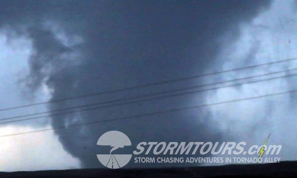
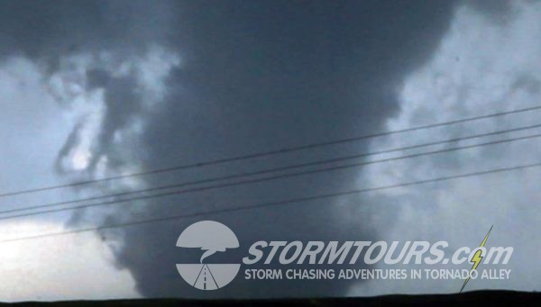
Today ended one of the most memorable tornadoes of the season. We started the day in Oklahoma City and drove into the eastern portions of the Texas Panhandle with our target being near the town of Canadian. The setup was a May tornado classic for the panhandle, temps were in the mid-80s while the dew point was in the mid-60s with steep low-level lapse, creating strong instability with MLCAPE values in excess of 2500 J/KG. It didn’t take long for the abundant moisture to break through the cap and cumulus towers begin forming. We witnessed the first couple of tornadoes of the day from a distant viewing point of about 10-miles and then moved into a position to await the arrival of the storm (due to limited roads) while it was cycling through a reorganization phase. A few miles before the storm made it to us, it quickly tapped into some deep, moist air and ramped up to the point of tornado insanity.
- Home
- Tour Experience
- Storm Chasing Tour Descriptions
- ✮ Tour Staff
- Which Tour to Choose
- ✮ Chase Logs
- Storm Types
- Common Questions
- Forecasting Explained
- Our Storm Chasing Vehicles
- Forecasting Resources
- Storm Chasing Technology
- Nowcasting for Successful Interceptions when Storm Chasing
- City Guide: Oklahoma City
- Tornado Alley
- City Guide: Denver
- Subscribe to our Newsletter
- Brian’s Top 10 Must Bring Items
- Gallery
- Contact Us
- Merchandise
- ➡ 2023 Tour Schedule


