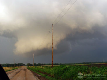
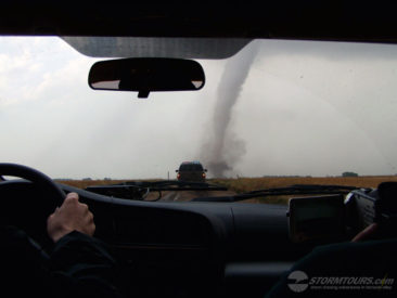
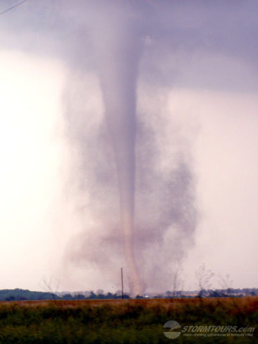
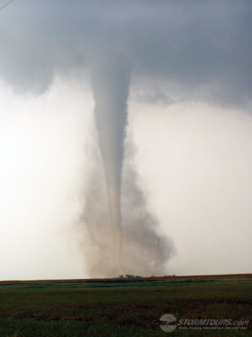
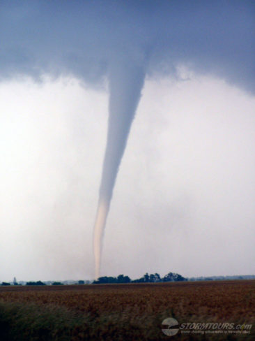
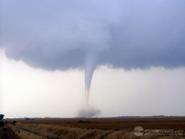
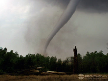
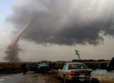
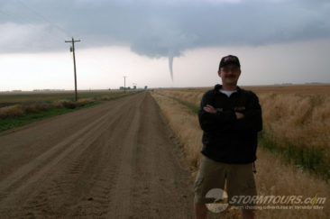
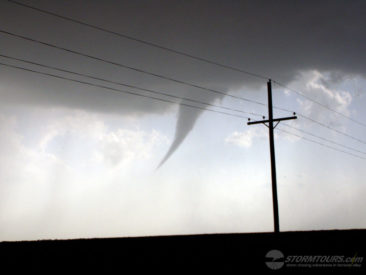
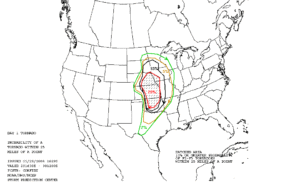
 May 29th was the type of day you live to chase for, a “classic triple point” with a strong dryline punch in central Kansas and a deep low pressure system near Wichita and 1800 CAPE on the DDC 0z sounding. SPC had issued a high risk area covering most of the central plains, a very large area which was more or less useless when you need to narrow it down to a single corn field. I choose to play the dryline punch as opposed to the triple point and it paid off extremely well. My late afternoon cumulus towers began to build and shortly after a couple of low precip supercells formed between Highway 54 and the OK/KS state border. We could monitor both storms from one location, but quickly got into position when a wall cloud began forming on the southern cell. With more cells popping up just south of the OK border, the pressure began to build, our storm was rotating, but it wasn’t in a hurry to produce a tornado. Meanwhile, tornado warnings were being issued across north-central Oklahoma, and we had time to get to them. I decided to wait as patiently as possible and not long after that, our storm tapped into some extremely moist air with dewpoints in the high 60s and began to spin like a top. We were positioned less than a mile from the first tornado formed, giving us easy access to pursue the tornado for several miles during its 31-minute lifespan.
May 12, 2004: Harper, KS – Tornadic Supercell
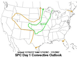
May 12th was an interesting day that brought a series of tornado producing supercells across parts of southern Kansas. Strong low-level convergence was taking place along an intersection of a surface low, dryline and quasi-stationary boundary in southern Kansas to northeastward along a surface front that extended into central Kansas with deep layer shear of 35-55 knots and a very unstable air mass with CAPE values of 3000 j/kg in the warm sector extending across the southern half of the state.
I chose to play the triple point that was occurring in Harper County. Which produced a couple of tornadoes for us. Unfortunately, my camera’s battery was near dead and I was only able to capture a few structure images and the first brief funnel (which later confirmed to be a touchdown/tornado) before losing my battery.

