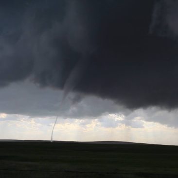
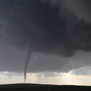
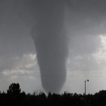
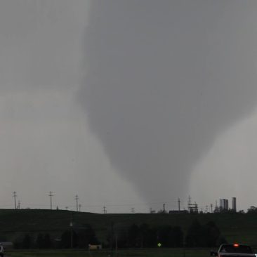
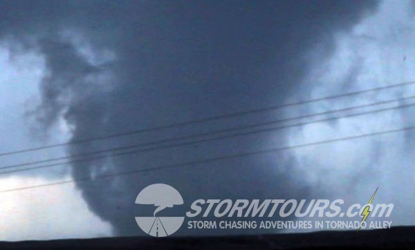
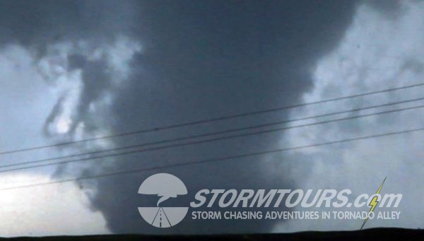
September 13, 2015: Florida Keys Waterspouts

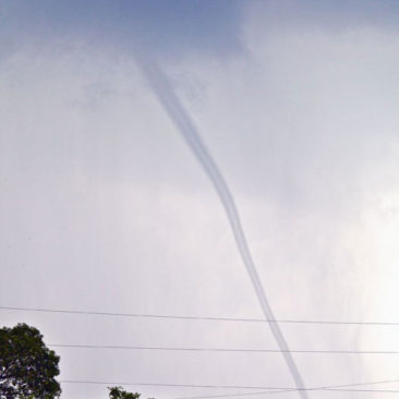
Another on-call waterspout tour ends with the successful interception of two waterspouts in the Florida Keys. Earlier in the day, a waterspout was sighted just offshore Miami and when we heard that news, Brian began questioning whether or not he misinterpreted the forecast.

Within a few hours, things started shaping up and we intercepted a severe storm near Plantation Key and the town of Tavernier, which produced not just one, but two waterspouts at the same time. Unfortunately, it’s very difficult to access the water in some areas in the Florida Keys and these waterspouts were both on the bayside of the island, which is lined with private residences, so we had to settle with photos taken from US Highway 1.

A waterspout is an intense columnar vortex (usually appearing as a funnel-shaped cloud) that occurs over a body of water. They are connected to a towering cumuliform cloud or a cumulonimbus cloud. In the common form, it is a non-supercell tornado over water.

We only offer “waterspout tours” upon special request (via our contact form), we don’t offer them through our normal Tour Schedule.  And, they are not easy to operate, a lot of this depends on the customer.  Waterspout tours are “on-call” storm chasing tours.  The customer(s) must be willing to either book a flight into South Florida, or be in in South Florida on very short notice.

We carefully monitor weather conditions for the type of conditions that might create waterspouts. When we see a pattern emerging that catches our eye, we send an email out to you. When you receive that email, you have one-hour to RSVP and prepare to book your flight or make whatever necessary arrangements possible to be in South Florida within 24-hours. It’s not for everyone, and we admit that it is extremely difficult to do, but for those who make it possible, it’s a great adventure!
August 05, 2015: Canadian Badlands Tornado Warned Supercells

During August, Tam and I make our annual pilgrimage to Canada to visit family. We usually do a bit of storm chasing during this trip as well since August is prime time for supercells and tornadic thunderstorms in the Canadian Prairies. While we have never conducted a tour operation in Canada, it is a possibility that we’re looking into for the near future.

Storm chasing is Canada isn’t all that much different than storm chasing in the USA’s Tornado Alley. However, there are some differences. For starters, there isn’t a tremendous amount of nowcasting data available and radar coverage is quite limited. Nonetheless, for me personally, it just makes it that much more enjoyable because it’s less tech and more “eyes on”, and I really enjoy that.

The frequency of storms is not as dependable as the USA however. During the height of the storm season in May, we can easily say that we’ll get a couple of good storm chasing days per week in the USA’s central plains. In Canada, there might be one storm chase day per week during Canada’s summer weather patterns.

We are however exploring the possibility of establishing a separate business in Canada to conduct tours annually in August. These tours will be structured much differently than our USA tours due to less dependable storms.

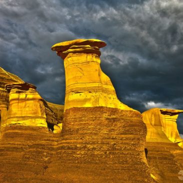
Instead of waking up in some portion of Tornado Alley and expecting the probability of day of storm chasing, we’ll be conducting scheduled tours of various sightseeing locations in Canada and breaking the normal tour schedule when there is a possibility of storm chasing. Such sightseeing locations will include visiting various national parks (Such as Banff and Waterton), visiting the Alberta Badlands to photograph the hoodoos (as shown below), and of course photographing the Northern Lights when given the opportunity.

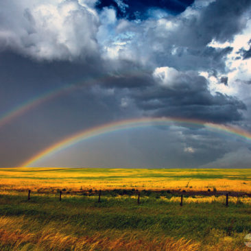
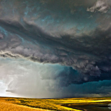
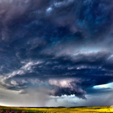
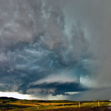
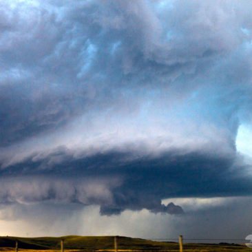
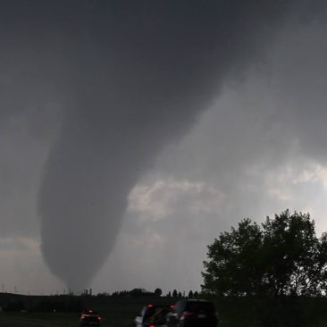
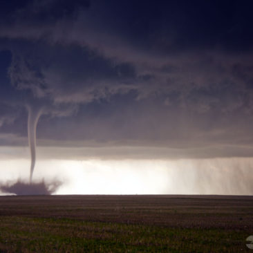
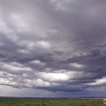
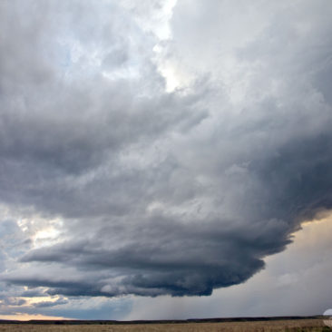
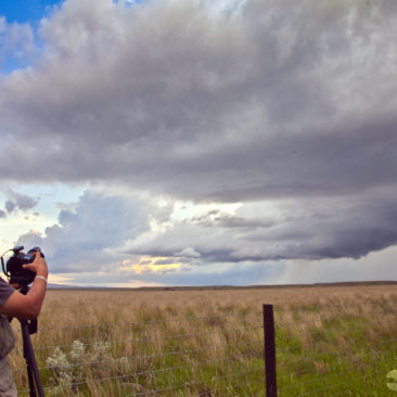
Here are a few photos from a single day to provide an idea of what you can expect from a Canadian storm chasing day.

June 04, 2015: Simla, Colorado Tornado Outbreak

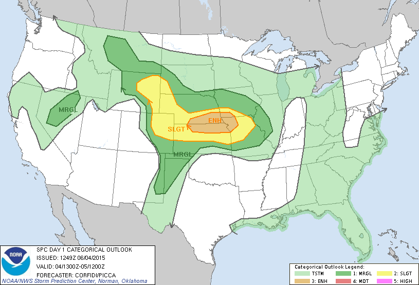
June 04 2015 Convective OutlookAfter looking at forecast data this morning, we assumed we’d likely see a tornado before the day’s end. But, what happened near the sleepy farming community of Simla, Colorado was a surprise to us all.
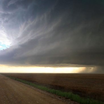
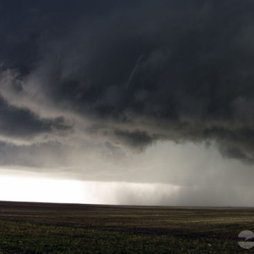
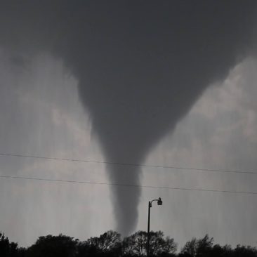
We started out in Cheyenne, Wyoming. By day’s end, we would witness nearly two-dozen tornadoes.

The forecasting data indicated two possible chase targets. Target number one was in northwestern Kansas and the second was in central Colorado. The dynamics for Kansas looked great and was tempting. But, it’s hard to ignore the Palmer Divide in central Colorado with nearly 3000 CAPE, so, Colorado it was!

We drove south across the Wyoming border as a supercell formed behind us. It was over Cheyenne and quickly tornado-warned by the National Weather Service. Looking at the storm in the rear-view mirror, I began to wonder if I was making a mistake.

A storm chaser on the Cheyenne storm sent a text message to me that said the storm was disorganized. We had towering cumulus in front of us and I decided to press on and get south of Limon…

Our storm chasing tours arrived at the storm with time to spare until tornado armageddon would begin. I double-checked the maps for any and all farm roads that we might be using throughout the afternoon. It didn’t take long before the storm decided to get serious. It ramped up very quickly while pelting us with golfball size hail.

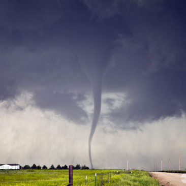
After 20-minutes of watching the wall cloud organize, a funnel poked out of the clouds swirling around above our heads. We watched the ground carefully and within a minute’s time, a swirl of dirt appeared – tornado!

At 5 pm MDT, the first tornado made contact with the ground seven times. I called them out: “Tornado Number 1, Tornado Number 2, Tornado Number 3…” It was shaping up to be a very successful intercept and forecast validation.

The supercell went through a few stages of reorganization as we tracked the storm over the next few hours. We seemed stopped counting tornadoes after 19. Our memory cards on our cameras were beginning to fill up to the max.

All in all, we witnessed about two-dozen tornado events. We lost one window from the storm chasing van due to baseball-sized hail. We ended the day with hundreds of tornado photos, a few hours of video and some much needed fast food.

This was the last day of chasing for this storm chasing tour and needless to say, everyone was happy. The best part of the whole day was that there were no reported major injuries.

June 03, 2015: Wyoming Beautiful LP Supercell

Our target area today was Wheatland, located in SE Wyoming.

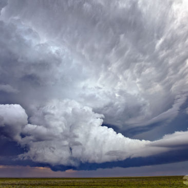
Wyoming is a bit difficult to chase in due to terrain and extremely limited road options, but it can be done and is an absolutely gorgeous country. Due to its elevation, the storms that happen here seem almost magical with very little precipitation around the storm bases, making this ideal for photography.

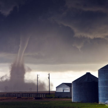
We intercepted two different supercells today and had a visual on a distant third, which we could see under the base for a very brief time. Upon arriving, we were able to see a quick tornado under that third storm from the front of the van before losing sight of it due to terrain.

The tornado that we saw was on the edge of the horizon and thus appeared very small from our viewpoint.

Later confirmation would tell us that the tornado was 3-miles south of Savageton, our viewing point was at the intersection of I-25 and US1 where we were following an LP storm that was moving nearly due north.

After photographing the storm and playing in some hail, we decided to let this storm go and drop back to the south again to reposition on another storm closer to our original target area.

When we arrived on the storm near Wheatland, we followed it north towards Glendo State Park, however, due to the hour and loss of light, I decided to set up for lightning photography opportunities before calling it a day.

May 27, 2015: Canadian, Texas Panhandle Tornado

Today ended one of the most memorable tornadoes of the season. We started the day in Oklahoma City and drove into the eastern portions of the Texas Panhandle with our target being near the town of Canadian. The setup was a May tornado classic for the panhandle, temps were in the mid-80s while the dew point was in the mid-60s with steep low-level lapse, creating strong instability with MLCAPE values in excess of 2500 J/KG. It didn’t take long for the abundant moisture to break through the cap and cumulus towers begin forming. We witnessed the first couple of tornadoes of the day from a distant viewing point of about 10-miles and then moved into a position to await the arrival of the storm (due to limited roads) while it was cycling through a reorganization phase. A few miles before the storm made it to us, it quickly tapped into some deep, moist air and ramped up to the point of tornado insanity.


1 2